Distance: 80.0km
Time: 4h 22m
Average speed: 18.29 kph
Song of the day: Where the Straats Have No Name
Click here to see today’s route.
We headed out for tea in the rain last night in our ‘green amorphous blob’ outfits, and found a pizzeria where we fuelled up with delicious salami pizzas. On the way back to the studio apartment where we were staying (with access to a laundry room, hurrah!), we dropped in to the supermarket for some pains au chocolate for today’s breakfast, and then swiftly ran out of steam after the day’s exertions.
This morning dawned misty but dry, we collected the tandem from the bike storage place (released with a cheery honk on its horn by the caretaker), and we were off. Much of today’s route was a retracing of wheel tracks from yesterday, and we both agreed that Arnhem hadn’t been a particularly compelling place to have visited. Not so much ‘a bridge too far’, more that we didn’t make the effort to visit the museum and the bridge yesterday, we were just too cold and tired when we arrived.
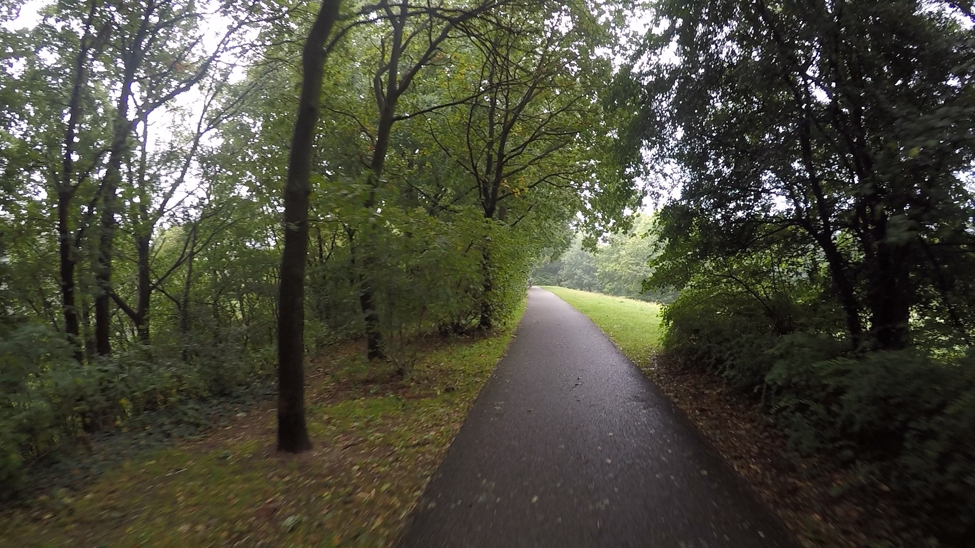
So it was back up out of the town, and then a realisation that we were at the highest point of the trip, a dizzying 57m above sea level. It looked like this, recorded for posterity:
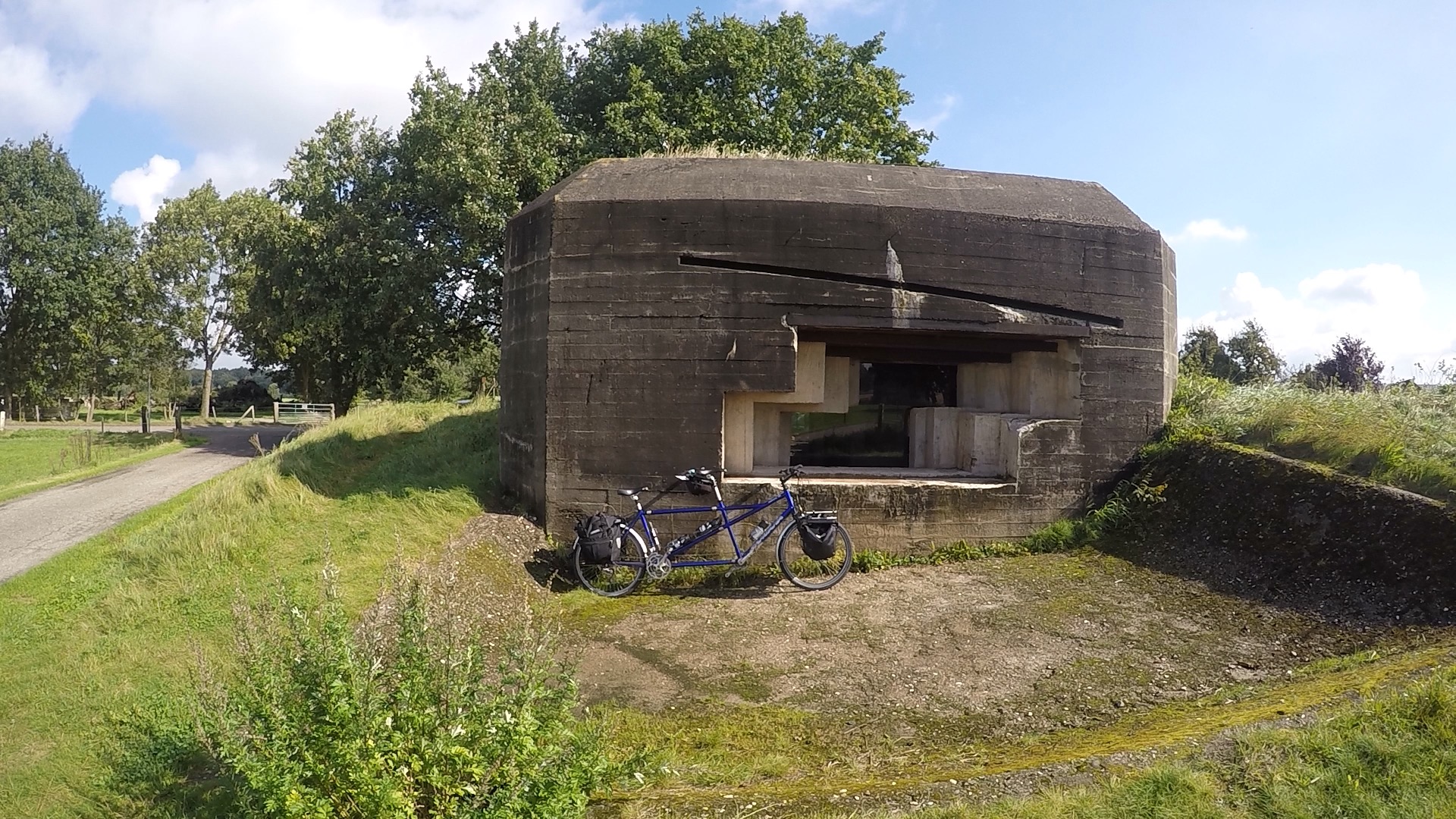
Then it was back along the tracks through the spooky wood, past yesterday’s lunchtime diversion, a quick wave at the friendly horse, and sunshine this time along the canal marked with concrete bunkers and pillbox-like structures. Just before we turned off was a bunker marked ‘Museumbunker’, and as we were making reasonable time, we decided to pop in. It was unlocked, with several explanatory boards, all in Dutch only, unfortunately, but we managed to work out that it was German, from 1944. There were pictures and diagrams of the huge gun inside.
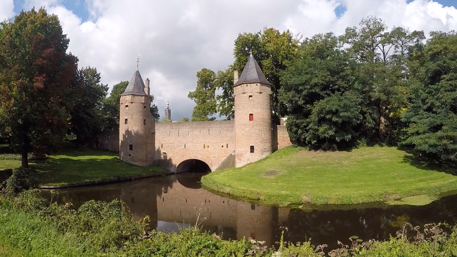
Pushing on, we struck out north, aiming for Amersfoort for lunch. It looks amazing on the map, concentric canals with tiny streets between, and we headed in past the gate towards the Grote Markt.
We parked the tandem, found a nice ‘eethuis’ and sat in the sunshine. Then a weird thing happened. When we had arrived in Utrecht the lady at our hotel had given us a city map, explaining that it was in Mondrian colours and style in honour of some art collaboration thing which was going on this year. As we sat in the square waiting for our lunch to arrive, the stoker piped up that she had forgotten as yet to look up what connection Mondrian had with the Netherlands. “I’ll look it up now”, said the captain, and discovered that Mondrian was born in Amersfoort, this tiny place where we were currently having lunch! What a coincidence.
After lunch we returned to where we’d left the tandem, to discover it had gone! A mild panic, but only until we realised it had been moved along to a wider part of the street, presumably to let some vehicle through. Phew.
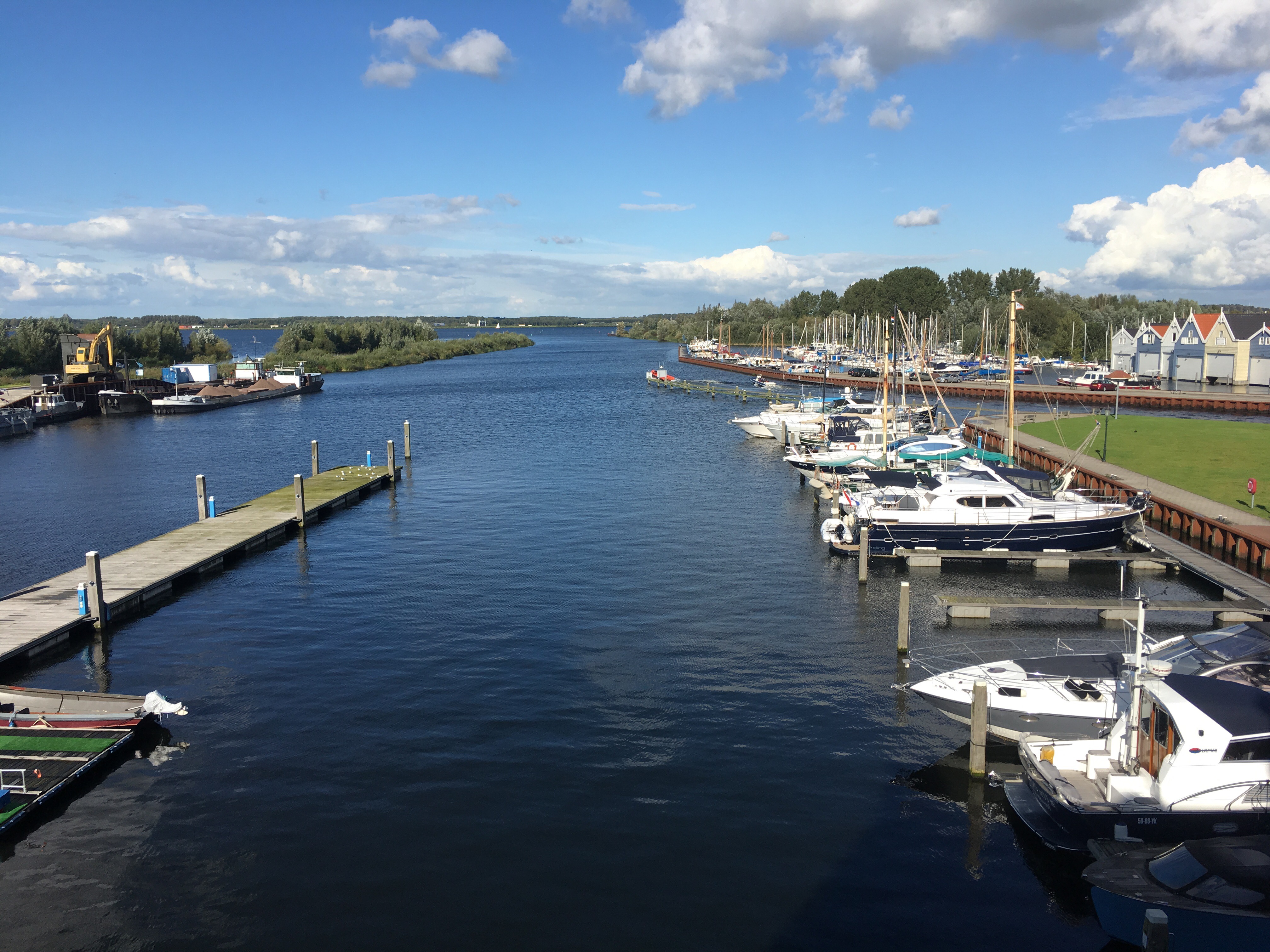
30km to go, and we’d barely got out of the concentric canal system when the heavens opened. We slogged along north, and eventually left the rain behind. The route was mostly along tracks through big fields, often filled with cattle, but sometimes geese (overwintering, perhaps?), smaller birds, and lots of solitary herons. Some of the cycle routes were not unpaved exactly, but hard-packed sand or white gravelly stuff, and we and the tandem were getting quite filthy. With just 5km to go the rain started again, really heavy, and we were both splattered up to our thighs in muddy splashes, just in time for our arrival at tonight’s rather posh hotel. They still let us in, fortunately. Wonderful view over the Gooimeer.
A long day in prospect tomorrow up to Giethoorn, nearly 100km to almost our northerly-most point, and the location for a rest day.
