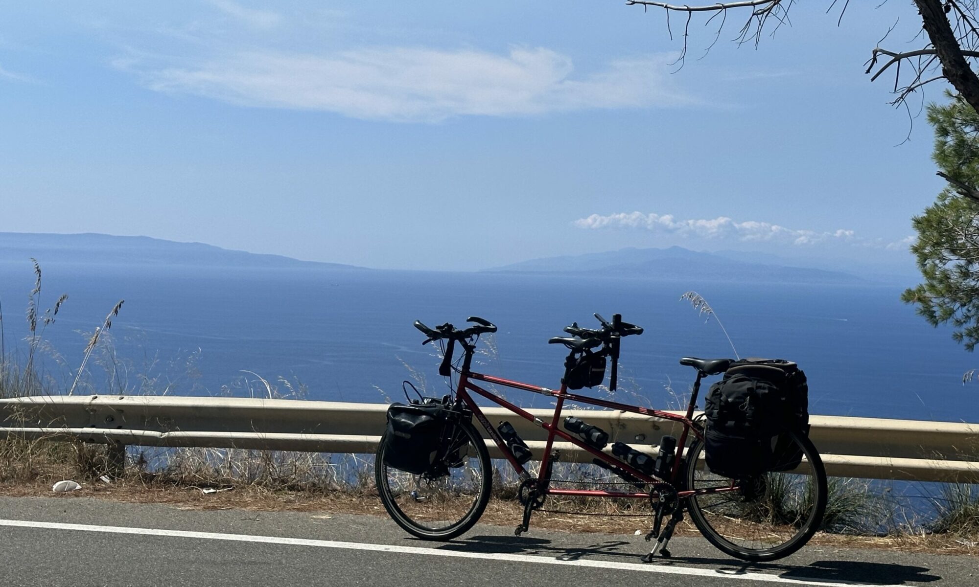
Time: 5 hours 8 minutes
Average speed: 10.8 m.p.h.
Distance from Lands End: 282.85 miles
Distance to John o’Groats: 737.15 miles
Number of navigational errors in the first 5 miles: 427
Number of counties we’ve cycled in today: 3 (Somerset, Wiltshire, Gloucestershire)

We had a lovely evening with Emma and Rob, good food, good company, and a wonderfully efficient laundry service! Drink was taken, but in remarkably restrained quantities, with thoughts of big hills and early meetings today.
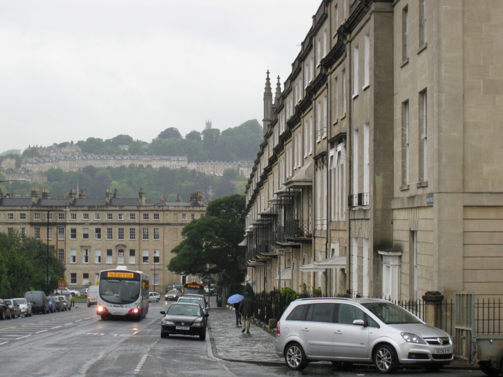
But what a performance getting out of Bath. We’d planned what we thought was a reasonably simple route out, including a short section on the canal towpath, but had to make sure we crossed the river at Batheaston. We missed a turn within only about a mile, then, when we found it, we agonised about whether to go down it, as it was marked “Unsuitable for motor vehicles”, the rain was lashing down and it was a 25% descent. Several cars went down so we decided to give it a go, and it was fine.
We were soon onto the canal towpath, which is not our stoker’s favourite. All you can see from the back is the hedge on one side, and canal water on the other – very scary. The towpath was really wet, with lots of puddles, and we had to walk for a hundred yards or so before the towpath opened out sufficiently to ride. We had to keep ducking under overhanging branches heavy with rainwater – if you missed one you got an unexpected shower of cold water down the back of the neck… We had a bit of trouble finding the point at which to leave the towpath, partly because Gary the Garmin is set up to follow roads and doesn’t like towpaths very much, but we located the tollbridge eventually and rode across – bikes are free!
Then we made our big navigational error – turning off the B-road too early (twice, in fact), and heading up the day’s big climb on completely the wrong road. Now we weren’t really sure where we were, and it was still raining really hard. The Garmin’s display shows a little dotted line which represents your route so far, and we could see we were roughly parallel with the road we should have been on, so we pushed on up the climb.
The road wound up through a forest, culminating in a really steep section joining another road, which almost had our dotted line meeting our original planned route. With no signs in either direction, we had to guess, and almost immediately our choice felt wrong. We’d been going for over an hour and a half by now, and had done barely 7 miles. When we turned and tried the other direction, though, it quickly took us to a more major road, our dotted line converged with the purple ‘route’ line, and suddenly morale lifted and we were back on track. We had also completed the big climb, and we amused ourselves for a while by making up implausible back stories for thè spooky secret ‘prohibited area’ behind barbed wire alongside the road.
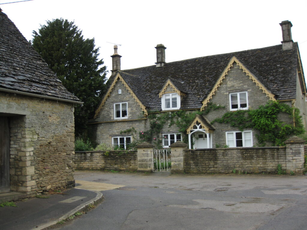
Things really improved after that, we stayed high and flat and ate up some miles, and it even stopped raining. We started to pass through little Cotswold villages, with houses made of honey-coloured oolitic limestone (our geological correspondent explains), and we stopped briefly in the village of Sopworth to share an oat bar and drink some water.
We piled on towards Stroud, and enjoyed a long gently gliding descent for several miles, through Nailsworth and almost all the way to Stroud. Now we were making really good time, and managed to get to Stonehouse, north of the slightly complex navigation around Stroud, for lunch at the Woolpack.
We were just 9 miles short of Gloucester now, our original target for today, but it was only 2:30, and we both felt we had a few more miles in our legs, so we decided to push on, and do some of tomorrow’s miles early. We have a lunch date tomorrow in Tenbury Wells with an old friend, so pushing on today also means we can spend more time tomorrow enjoying lunch and catching up!
Navigating around Gloucester was a little tricky, but we were soon heading out on the Newent road, and arrived in Newent village ready to stop and find somewhere to stay. The George looked the most likely, and once they’d assured us that the “Disco tonight” sign was just left over from the weekend it was a done deal.
So it’ll be a shorter day tomorrow, barely 40 miles to Ludlow, and only around 10 of those left after lunch. That’s good, as the following day will be a long one, over 70 miles, which is further than we’ve done in a day before.